|
Getting your Trinity Audio player ready...
|
A visually stunning photograph that nobody can search for, organize, or locate is a photo that loses its utility the moment it is archived. In the digital age, a great image is only half the equation—the other half is data. Whether you are managing a massive personal portfolio or delivering images to a client, knowing exactly where a photo was taken is critical.
This is especially vital for humanitarian photography, documentary work, and NGO coverage. Organizations often manage thousands of assets from global projects; without embedded location metadata, your critical images can easily get lost in a digital void. Having precise coordinates baked directly into your image files allows organizations to search for images by region instantly, verify location authenticity, and drastically speed up the process of writing accurate, fact-based captions.
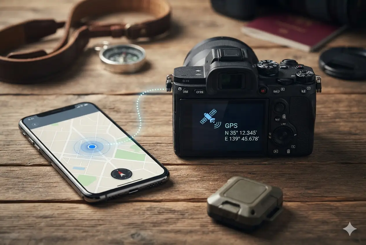
While only a few modern cameras have built-in GPS chips due to battery and size constraints, almost every major brand offers a workaround: using your Smartphone’s GPS via Bluetooth.
Here is exactly how Nikon, Sony, Canon, Fujifilm, OM System (Olympus), and Leica handle mobile geotagging, along with the specific apps you need to download.
The Ultimate Travel Secret: GPS Works in Airplane Mode
Before diving into the brands, there is a massive misconception that you need a cellular signal or Wi-Fi for this to work. You do not.
Your Smartphone has a dedicated, hardware-based GPS receiver that operates entirely independently of cellular data networks. You can put your phone into Airplane Mode and turn Wi-Fi completely off to save battery or comply with flight regulations, and your phone will still track your precise coordinates. As long as your phone’s Bluetooth remains enabled to connect to your camera, you can geotag your photos in the deep back-country, in remote villages, or in foreign countries without using a single megabyte of data or roaming.
1. Nikon (SnapBridge)
Nikon was one of the early pioneers of seamless mobile geotagging using low-energy Bluetooth.
- The App: Nikon SnapBridge
- How it works: Once you pair your camera to your phone via Bluetooth, open the app, go to the Connect tab, and toggle on Auto link, then Location data. On your camera, ensure the location data feature is set to download from the smart device.
- The Nuance: SnapBridge is highly regarded for its stability. It can automatically pull your phone’s GPS data in the background, even when your phone is locked, and stamp coordinates onto your files exactly when the shutter clicks.

2. Sony (Creators’ App)
Sony uses a continuous Bluetooth handshake to keep your location data up to date as you move.
- The App: Sony Creators’ App (or Imaging Edge Mobile for older cameras).
- How it works: Pair your camera to the app via Bluetooth. Inside the app, toggle on Location Information Linkage by going to the[Cameras] screen, and tap [Others] → [Setup] → [Location Information Linkage] and switch on Location Information Linkage, Auto Time Correction, and Auto Area Adjustment. You may also need to go to your camera’s network menu and turn Location Info. Link to On.
- The Nuance: For iOS and Android to allow continuous tracking in your pocket, you must set your phone’s location permission for the Creators’ App to “Allow all the time” rather than “Only while using the app.” And in the Creators’ App, click the gear icon in the upper-right corner of the [Cameras] screen, then set Connection with Camera in Background to Keep connection.

3. Geotag Alpha (multiple cameras at same time)
Geotag Alpha uses a continuous Bluetooth handshake to keep your location data up to date as you move.
- The App: Geotag Alpha (third-party iOS app for Sony cameras).
- How it works: Turn Bluetooth on in your camera’s network menu. Open Geotag Alpha, tap Add Camera, and pair it directly within the app. Then, go to your camera’s network menu and turn Location Info Link to On.
- The Nuance: For iOS to allow continuous tracking in your pocket, you must set your phone’s location permission for Geotag Alpha to “Always Allow” rather than “While Using the App.”

4. Canon (Camera Connect)
Canon offers real-time coordinate stamping as long as the mobile application remains active in your phone’s memory.
- The App: Canon Camera Connect
- How it works: Establish a Bluetooth connection between your camera and Smartphone. In the app settings, enable Location Information. Next, dive into your camera’s yellow Setup menu, find the GPS settings, and set the GPS device to Smartphone.
- The Nuance: Canon cameras require a constant active connection to stamp coordinates on the fly. If your phone aggressively kills background apps to save battery, you may need to reopen the app occasionally during a shoot.

5. Fujifilm (FUJIFILM XApp)
Fujifilm drastically improved its wireless reliability with the release of its modern connectivity app.
- The App: FUJIFILM XApp (replaces the legacy Camera Remote app).
- How it works: Pair your camera via Bluetooth. In the XApp settings, ensure location synchronization is switched on. A small satellite or globe icon will appear on your camera’s LCD/EVF screen when it is actively receiving a GPS signal.
- The Nuance: Fujifilm cameras update their internal clocks and locations based on the phone. However, aggressive smartphone power-saving settings can sometimes pause background sync, requiring a quick phone wake-up.

6. OM System / Olympus (OI.Share)
Because most Olympus and OM System bodies lack internal GPS hardware, they rely on a smartphone-tethered handshake to map your journey.
- The App: OM Image Share (OI.Share)
- How it works: You can sync the camera and phone via a Bluetooth background connection. Turn on the location logging feature within the OI. Share app to communicate the live coordinates directly to the camera body as you shoot.
- The Nuance: Because it relies entirely on a continuous data stream, keeping the app open and active is crucial for accurate mapping throughout a long day of shooting.

7. Leica (Leica FOTOS)
Leica utilizes a clean, minimalist application to push location data to models without internal GPS, such as the Q and M series.
- The App: Leica FOTOS App
- How it works: Pair your Leica camera to your phone using Bluetooth. In the app’s camera management settings, enable the location logging option.
- The Nuance: The app features an “Always-on” background toggle that keeps geotagging active even when the phone is locked. Be aware that keeping this link constantly active will cause a noticeable increase in both phone and camera battery consumption.
Pro-Tips for Flawless Mobile Geotagging:
- Check Battery Optimization: Android and iOS love to put background apps to “sleep.” Disable battery optimization/restrictions for your camera app to prevent geotagging dropouts.
- Watch the Icons: Always look at your camera’s display before shooting. Most brands display a GPS or satellite icon that flashes while searching and remains solid once it has a lock on your phone’s location.
- Time Sync is Key: Ensure your camera’s internal clock is synced to your Smartphone. If the timestamps don’t match up, the app may fail to align the GPS coordinates with the correct image.
Unlocking Your Coordinates in Lightroom
Once you have successfully embedded those coordinates into your files using the steps in the post, here is how actually to put that metadata to work using Adobe Lightroom Classic:
- The Map Module: Go to the Map module at the top right. Lightroom will read the EXIF data from your camera app and instantly drop physical pins on a global map showing exactly where you stood for every shot.
- Reverse Geocoding: When you select images in the Map module, Lightroom can automatically look up the coordinates and populate the City, State, and Country fields in your Metadata panel, saving you hours of manual typing.
- Smart Collections: You can create a Smart Collection with rules like “GPS Data > is coordinates” to instantly isolate images that contain location data, making it easy to filter out studio shots from fieldwork.
- The Sync Backup Workaround: If your phone app ever disconnects in the field, you can track your route using a standalone GPX logging app (such as Geotag Photos Pro). In Lightroom’s Map module, click the Tracklog icon (the little wavy line button) and select Load Tracklog. Lightroom will automatically match the timestamps on your photos to your phone’s GPS log and retroactively stamp the files.